Opportunities in the GHRG
NSERC-funded Masters and PhD opportunities researching multi-scale geomorphometry
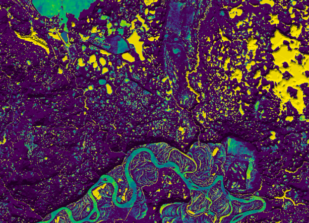
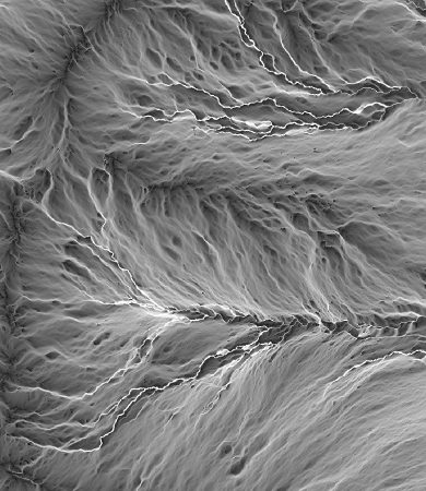
Geomorphometry is the discipline focused on extracting information from topographic data to model and understand landscape processes. Topography controls many phenomena of interest in environmental modelling applications. For example, it affects the distribution of water, nutrients, and sediments, and climate properties, such as air and surface temperature, solar radiation, and wind exposure. Over the past decades, improved topographic mapping technologies and analysis methods have underpinned many advances in soils and habitat mapping, flood forecasting and hydrologic modelling, sediment modelling, hazards mapping, and geological resource inventorying.
The outputs of geomorphometric analysis, which often take the form of maps of topographic properties, are frequently used as inputs for environment models. One of the challenges for research in this field has been how best to handle the scale dependency of these data. Most topographic properties are dependent on the scale at which they are measured. Consider local topographic position, which measures how elevated or low lying a site is relative to its surroundings. This property affects soils development because low-lying sites accumulate materials, and therefore tend to exhibit deeper soils than elevated sites. However, at what spatial scale, or scales, should topographic position be measured to best represent this soil-forming process and to serve as a predictor for soil distribution models? Research has shown that using a set of topographic predictors measured at a range of scales can improve model performance. However, this multi-scale approach can add to model complexity. Recent research has offered an alternative approach for multi-scale analysis, in which the most important scales for representing a topographic property are identified for each individual location based on the unique properties of a site and its surroundings. This method involves creating a scale mosaic from a stack of scaled maps that retains much of the information contained within the full stack. This research aims to explore the opportunties for scale mosaics of topographic data sets for improving landscape modelling and to advance current methods for identifying characteristic scales.
I aim to advise one Masters and one PhD student in the Fall of 2024 (a Winter 2024 start is also possible) to carry out a geomorphometry
related research projects focussed on mult-scale geomorphometry. The successful students must be Canadian citizens or
permanent residents (I only have sufficient research funding to support domestic students currently). If you are interested in research in this area please contact
me. The incoming students will join the vibrant Geomorphometry and Hydrogeomatics Research Group (GHRG) at the
University of Guelph, have opportunities to work on open-source GIS development
(WhiteboxTools), and will have excellent employment opportunties upon graduation in Canada's growing geomatics sector.
Dr. John Lindsay
Department of Geography, Environment & Geomatics
University of Guelph
Guelph, Ontario, Canada, N1G 2W1
email: jlinsday@uoguelph.ca

Undergraduate Opportunities
Prof. Lindsay is open to advising one or two geography students (majors in EG, GEOG, ERM) during the fall and winter semesters of 2019/20 for GEOG*4690 Independent Study projects. If you are interested in GIS, LiDAR remote sensing, and geomorphometry, please come to discuss project ideas.
The GHRG also hosts a number of undergraduate student volunteers each semester. These students gain valuable experiences analyzing LiDAR and DEM data sets.

